Dubai’s Metro network continues to expand as the city grows, offering faster and more convenient travel every year. The Dubai Metro Map 2026 introduces updated routes, new stations, and better connections, making it easier than ever to move around Dubai.
Whether you are a tourist visiting Dubai for the first time or a resident commuting daily, understanding the latest Dubai Metro routes and stations will help you travel confidently and efficiently.
In this guide, you’ll find what’s new in the Dubai Metro Map 2026, a detailed breakdown of the Red and Green Lines, key interchange stations, and major landmarks you can reach by Metro.
What’s New in the Dubai Metro Map 2026?
The 2026 update reflects Dubai’s rapid urban development and transport planning. New stations and route extensions have been added to improve accessibility, reduce road traffic, and connect emerging residential and business areas.
The updated map is also more user-friendly, featuring clearer line colors, station labels, and improved integration with buses, trams, and future transport projects.
Key Updates in 2026
- New stations added to high-growth areas
- Extended Red and Green Lines for better city coverage
- Improved interchanges between Metro, Tram, and Bus routes
- Future expansions aligned with the Dubai 2040 Urban Master Plan
Route Extensions and Station Additions
Several new stations have been introduced in 2026, especially in developing residential communities and business hubs. These additions reduce travel time and minimize the need for multiple transfers.
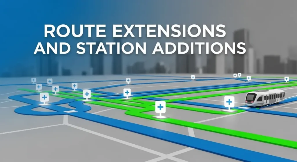
Expansion of the Red and Green Lines
- Red Line now extends further toward Dubai South and Al Maktoum International Airport, improving access for travelers and professionals.
- Green Line has expanded near Dubai Creek, connecting more residential neighborhoods, healthcare facilities, and education zones.
Future Metro Developments
Dubai is also actively developing the Blue Line, a 30-kilometer extension with 14 stations, including the world’s tallest metro station at Dubai Creek Harbour. These future plans are already reflected on the 2026 Metro Map.
Dubai Metro Lines and Key Stations (2026 Overview)
Dubai Metro currently operates two main lines — Red Line and Green Line — covering most of the city’s important areas.
Knowing the key stations on each line makes trip planning much easier, whether you’re heading to the airport, a shopping mall, or your workplace.
Red Line: Major Stations and Destinations
The Red Line runs from Centrepoint to Expo City Dubai, passing through Dubai’s busiest and most popular areas.
Key stations include:
- Dubai International Airport (Terminals 1 & 3)
- BurJuman
- Burj Khalifa / Dubai Mall
- Business Bay
- Mall of the Emirates
- Sobha Realty (Dubai Marina)
- DMCC (JLT)
- Expo City Dubai
This line follows Sheikh Zayed Road, making it the most heavily used route for tourists and professionals.
Want To learn More About RTA Dubai Metro Timings Today: Updated Metro & Bus Schedule 2026
Green Line: Important Stops and Connections
The Green Line serves older and residential parts of Dubai, especially Deira and Bur Dubai.
Important stations include:
- Al Qusais
- Stadium
- Salah Al Din
- Gold Souq
- Al Fahidi
- Al Ghubaiba
- BurJuman
- Oud Metha
- Dubai Healthcare City
This line is popular among residents, students, and healthcare workers.
Interchange Stations Between Red and Green Lines
Interchange stations allow smooth transfers between Metro lines:
- Union Station (Red ↔ Green)
- BurJuman Station (Red ↔ Green)
These stations are clearly marked on the Dubai Metro Map 2026 and are key points for cross-city travel.
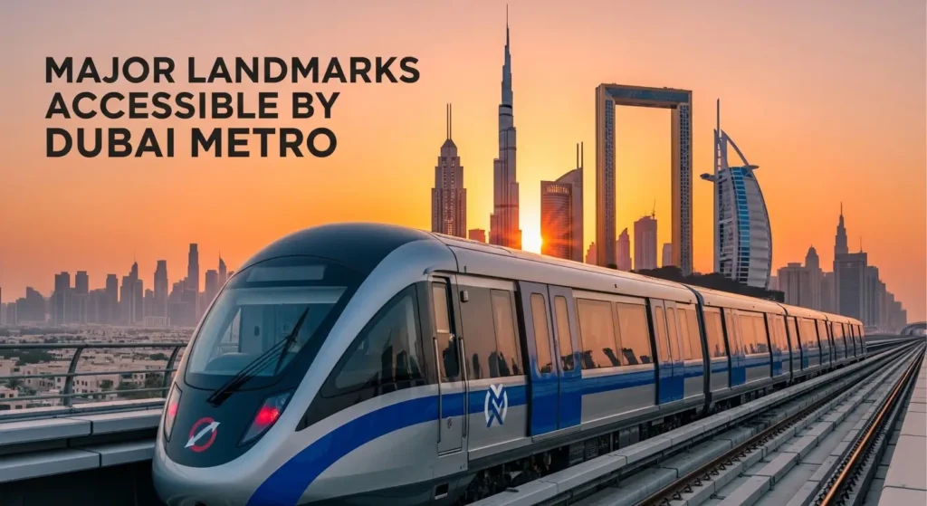
Major Landmarks Accessible by Dubai Metro in 2026
The Dubai Metro provides direct access to many of the city’s most popular destinations.
Tourist Attractions on the Red Line
- Burj Khalifa
- Dubai Mall
- Mall of the Emirates
- Dubai Marina
- Expo City Dubai
Business and Residential Areas on the Green Line
- Deira business districts
- Oud Metha residential zone
- Dubai Healthcare City
- Educational and cultural areas in Bur Dubai
New Areas with Upcoming Metro Access
- Dubai Creek Harbour
- Parts of Dubai Silicon Oasis
- Expanding communities in Dubai South
These additions make the Metro even more useful for both daily commuting and sightseeing.
Visit Official RTA Website
Why the Dubai Metro Map 2026 Matters
Understanding the latest Dubai Metro Map helps you:
- Plan faster and cheaper journeys
- Avoid unnecessary transfers
- Reach landmarks without taxis
- Combine Metro, Tram, and Bus routes easily
Checking Dubai Metro timings today along with the updated map ensures smooth and delay-free travel.
Conclusion
The Dubai Metro Map 2026 makes navigating the city simpler than ever. With expanded routes, new stations, and better integration with other transport systems, the Metro remains one of the most efficient ways to travel across Dubai.
Whether you’re a tourist exploring landmarks or a resident commuting daily, knowing the updated routes and stations will save you time, money, and stress.
FAQs
You can check it using the RTA Dubai app, ticket machines at Metro stations, or the official RTA website.
Top up at Metro stations, RTA vending machines, online through the RTA app, or authorized retailers.
The Gold NOL Card costs AED 25, including an initial balance and issuance fee.
The updated Dubai Metro Map 2026 is available on the official RTA website and at Metro stations.
Yes, the Metro is tourist-friendly, well-signposted in English and Arabic, and easy to use with a NOL Card.
Read More:
- ROOFLINE Brings Fresh Flavours, Stunning Views and Creative Pop-Ups to DIFC
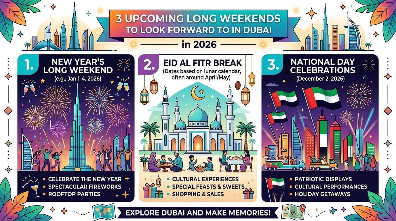
- Eid Al Fitr 2026 in Dubai: Here’s How Many Days Off You’ll Have
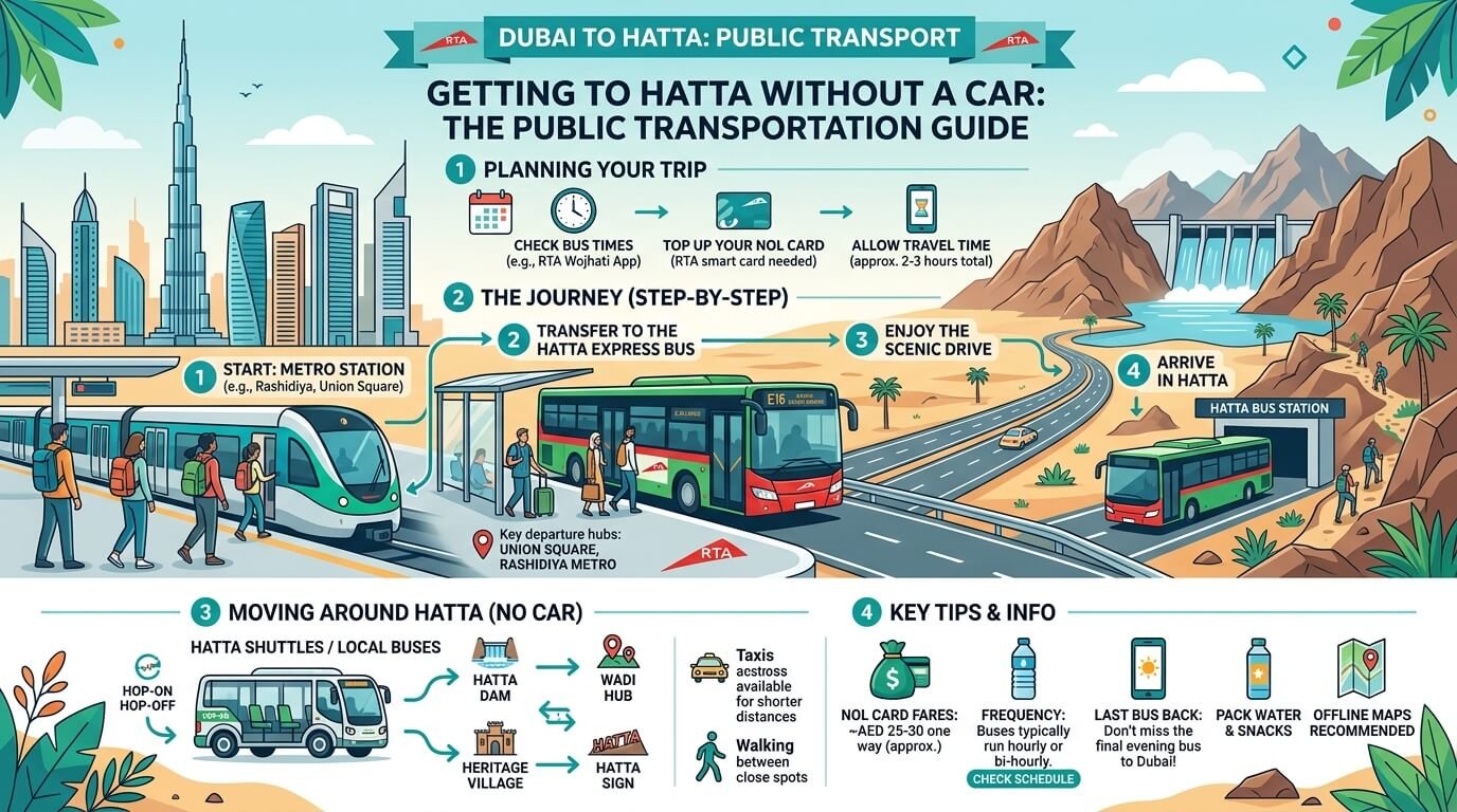
- Everything You Need to Know About Getting to Hatta Without a Car
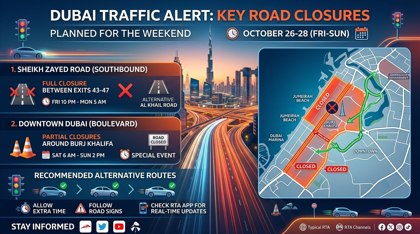
- Dubai Traffic Alert: Key Road Closures Planned for the Weekend
- 3 Upcoming Long Weekends to Look Forward to in Dubai in 2026